LUBBOCK, Texas — On Sunday, the forecast called for strong to severe thunderstorm development along a dryline. Storms were expected to impact the South Plains and Rolling Plains late Sunday afternoon and evening.
Thank you to everyone who watched our live coverage. Check out some of the highlights below.
Related Links:
- EverythingLubbock.com Weather Page
- KAMC Weather Page | KAMC Facebook page
- KLBK Weather Page | KLBK Facebook page
- Interactive Radar

#lightning #rainbow East of Post from @KAMCNews Strike Drone @rrobertswxlab @jrileywx @KellianneWX #txwx pic.twitter.com/yLjQQjC5Fh
— Fletcher Aerial Solutions (@FletcherAerial) May 25, 2020
Check out this BEAUTIFUL view of some mammatus over 130th and Frankford here in Lubbock! #TXwx #KAMC #LubWX #Sunset #Severe #Mammatus
— Jacob Riley (@jrileywx) May 25, 2020
PC📸: Tyler Clark pic.twitter.com/4rTZ6LVs08
High water hwy 380 west of Post @KAMCNews Strike Drone @rrobertswxlab @jrileywx @KellianneWX #txwx pic.twitter.com/GjoRtDrfJM
— Fletcher Aerial Solutions (@FletcherAerial) May 25, 2020
Check out what a microburst did in Levelland today! It completely rolled this mobile office over! A great reminder to seek shelter in a sturdy building even with severe thunderstorms. #TXwx #KAMC #WindDamage #LubWX #Severe #Microburst @NWSLubbock
— Jacob Riley (@jrileywx) May 25, 2020
PC📸: Shawn Chambers pic.twitter.com/y4vgGnJhz3
Nice mammatus as storms exit the Lubbock metro area. #TXwx #LubWX #KAMC #Severe pic.twitter.com/pvcKWudTyt
— Jacob Riley (@jrileywx) May 25, 2020
@jrileywx @KAMCNews storms building over Lubbock today. Looking southwest toward Wolforth from 98th and slide area. Pea to marble size hail and lots of rain! pic.twitter.com/FvK3RK1bw6
— Jeremy Smith (@that_video_guy) May 24, 2020
Dirt rolling into eastern Lubbock county East of Idalou @KAMCNews Strike Drone @rrobertswxlab @jrileywx @KellianneWX #txwx pic.twitter.com/xx5encOjE7
— Fletcher Aerial Solutions (@FletcherAerial) May 24, 2020
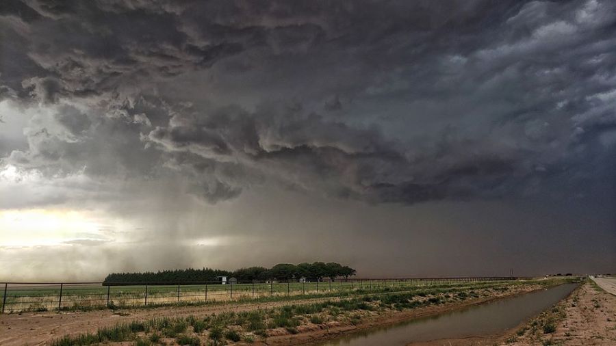
New event. Severe Thunderstorm Warning from 5/24/2020 6:39 PM to 7:45 PM CDT for Scurry County, TX. #txwx #KLBK #KAMC https://t.co/yGGI2RV5FA
— Chris Whited (@severewxchaser) May 24, 2020
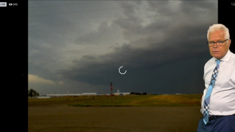
609pm: Another spectacular picture from the @cityoflubbock and @LubbockFire weather spotters. This picture was taken at MLK & Parkway Dr looking west. This storm is dangerous and producing hail, strong wind gusts and heavy rainfall. #txwx #lubwx pic.twitter.com/F049CjOGkx
— NWS Lubbock (@NWSLubbock) May 24, 2020
A severe warned storm is approaching Lake Alan Henry. The lake is not currently under a severe warning, but if you are in the area, move indoors! pic.twitter.com/vEpNahrHzi
— Lubbock Police Dept. (@LubbockPolice) May 24, 2020
Going live from Idalou in 5 minutes with @KAMCNews Strike Drone @rrobertswxlab @jrileywx @KellianneWX #txwx pic.twitter.com/DB5RIiPqBJ
— Fletcher Aerial Solutions (@FletcherAerial) May 24, 2020

At FM 1585 & FM 179. @NWSLubbock pic.twitter.com/aUPJMjhyQD
— Larry Rodriguez (@larrydtv) May 24, 2020
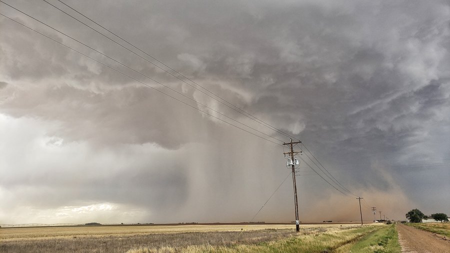
Blowing dust! Looks ominous but not a threat! https://t.co/K72UJlBEzP
— Kellianne Klass (@KellianneWX) May 24, 2020
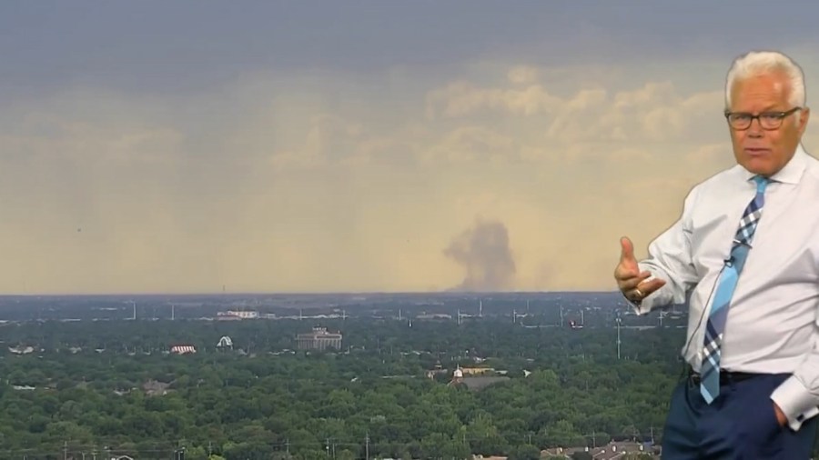
The National Weather Service in #Lubbock has issued an Airport Weather Warning for Lubbock Preston Smith International Airport from 6:15 PM CDT to 7:15 PM CDT. #txwx #KLBK #KAMC pic.twitter.com/1REnVZQRbg
— Chris Whited (@severewxchaser) May 24, 2020
Thunderstorm near Ropesville is moving toward Wolfforth now. Large hail and high wind are possible. #txwx @KAMCNews pic.twitter.com/MJM7RDNLmc
— Larry Rodriguez (@larrydtv) May 24, 2020
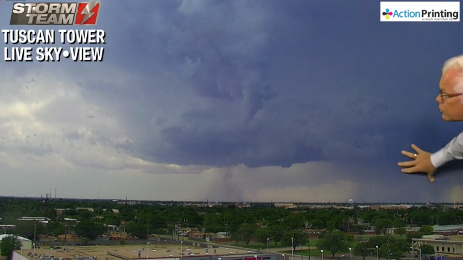
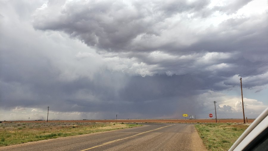
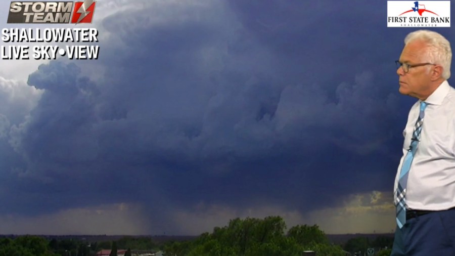
Check out this virga bomb in Brownfield! #TXwx #KAMC #Severe #LubWX pic.twitter.com/KWFZpwd4D6
— Jacob Riley (@jrileywx) May 24, 2020
Quick video from Northwest Lubbock county, south of Shallowater KAMC News Strike Drone Ron Roberts KAMC Meteorologist Jacob Riley Meteorologist Kellianne Klass pic.twitter.com/mrW2A5v5xY
— Fletcher Aerial Solutions (@FletcherAerial) May 24, 2020
Looking northwest from north Lubbock @KAMCNews Strike Drone @rrobertswxlab @jrileywx @KellianneWX #txwx pic.twitter.com/uDidHA9zvG
— Fletcher Aerial Solutions (@FletcherAerial) May 24, 2020
A severe thunderstorm watch has been issued for parts of Oklahoma and Texas until 10 PM CDT pic.twitter.com/GkPnvPbN35
— NWS Lubbock (@NWSLubbock) May 24, 2020
FM 669 in Garza Co. remains closed after heavy rains damaged the roadway in several locations. Drivers will need to find an alternate route around the area. Weather permitting; TxDOT crews will begin repair work on Tuesday, May 26. Road will be closed until repairs are made. pic.twitter.com/KQPJLAHc4V
— TxDOTLubbock (@TxDOTLubbock) May 24, 2020
10:45AM: Our team has spotted storm damage on FM669 south of Post, TX this morning. In this picture the pavement has slid off the road and into the ditch to the right. #txwx #lubwx pic.twitter.com/OXf4q4k4ZV
— NWS Lubbock (@NWSLubbock) May 24, 2020


