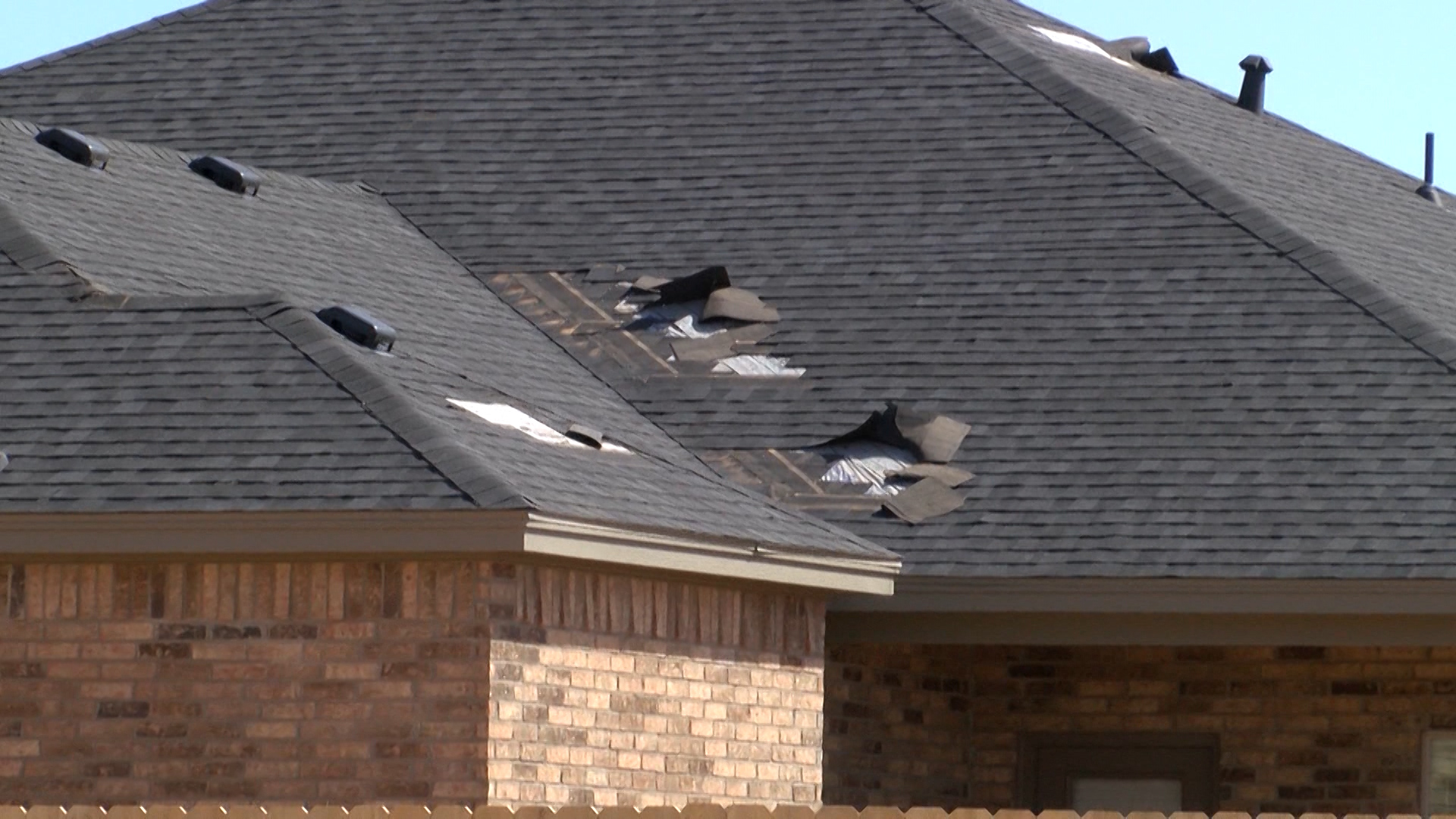
LUBBOCK, Texas — On Thursday, the National Weather Service released its report with details about the Lynn County tornadoes that occurred on Sunday, May 5.
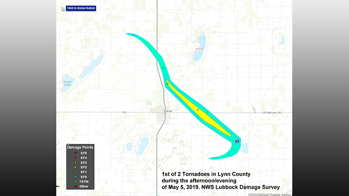
According to the report, the first tornado was designated as an EF-2 and it achieved peak winds of 120 mph. An EF1 is the weakest tornado on the scale; an EF5 is the strongest.
The report also said the tornado had a length of 17.2 miles and width of 1.2 miles.
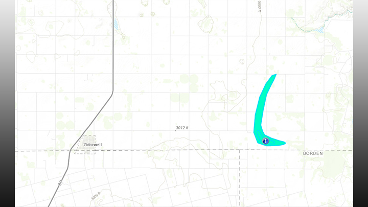
The second tornado was designated as EF-1 and had peak winds of 90 mph, as stated in the report. This tornado had a length of five miles and was half a mile wide.
While there may have been smaller tornadoes associated with the storm, the NWS report said these did not produce any damage.
The following is the NWS report on the Lynn County tornadoes from Sunday, May 5:
Meteorologists with the National Weather Service in Lubbock conducted a storm damage survey in Lynn County on Monday, May 6th.This team surveyed damage across central and eastern portions ofthe county guided by radar data, local law enforcement, and available video from the event.
The tornadoes were associated with a supercell thunderstorm which developed over southwest Hockley and southern Lubbock Counties. Initially the storm moved eastward, but around 530 pm CDT the storm began to develop southward into northern Lynn County.
Storm spotters and chasers observed the rapid development of atornado between New Home and Tahoka, a couple miles west of U.S. Highway 87, at approximately 545 pm CDT, which was roughly coincident with the development of a couplet in velocity from the Lubbock WSR-88D.The tornado crossed Highway 87 north of Tahoka at approximately 555 pmCDT, accompanied by very large hail, but minimal wind damage was observed along the highway. The tornado increased in strength quickly as it moved south-southeast east of Highway 87, causing EF-2 damage to power poles approximately 2.7 miles N-NE of Tahoka.
The tornado crossed U.S. Highway 380 about 3 miles east of Tahoka around 605 pm CDT. The tornado caused EF-1 damage to a residence along U.S. 380. About a half mile south of the highway the tornado caused EF-1 to EF-2 damage to a manufactured home and farm equipment. The KLBB WSR-88D indicated about 40 to 55 kts low-level rotational velocity during this period.
By 630 pm CDT, the tornado and parent mesocyclone halted their S-SE motion and wobbled back to the west as indicated by the radar data and storm spotter/chaser video. The strength of the velocity couplet gradually decreased and by about 650 pm CDT no further reports of the tornado were received. The end time and location of the tornado is estimated by the radar data.
Shortly after 700 pm CDT, the radar-observed mesocyclone began to strengthen again in southeast Lynn County to the E-NE of O’Donnell. EF-1 Tree damage was observed at a residence along FM 1054 south of the small community of Draw, TX, roughly coincident with peak low-level rotational velocities ofabout 50 kts from the KLBB WSR-88D. Lacking other damage indicators, the start and end times/locations of the second tornado were estimated by radar.
Additional small tornadoes may have occurred with this supercell across southern and eastern portions of Lynn County but no other reports of damage have been received.
EF Scale: The Enhanced Fujita Scale Classifies Tornadoes intothe following categories.
EF0…Weak……65 to 85 MPH
EF1…Weak……86 to 110 MPH
EF2…Strong….111 to 135 MPH
EF3…Strong….136 to 165 MPH
EF4…Violent…166 To 200 MPH
EF5…Violent…>200 MPH


