LUBBOCK, Texas — KAMC Meteorologist Jacob Riley has your Saturday evening forecast. Sponsored by J Ferg Pros.
Happy Leap Day! It was warm and sunny across the South Plains on Saturday. We did have some windy conditions across the area. Those winds will stick with us for your Sunday.
Overnight, lows will fall into the lower and middle 40s across the area. That is around 10 degrees above average for this time of year. Winds will remain quite strong out of the west-southwest, gusting close to 30 MPH at times. A few clouds will can be expected.
Wind gusts could approach 40 MPH at times throughout the day. This, combined with low relative humidity values, will result in an increased risk for fire danger. Postpone any outdoor burning until next weekend if you can! High temperatures will warm into the middle and upper 70s under a partly cloudy sky. A few lower 80s will be possible across the Permian Basin! Overnight lows will remain mild under an increasingly cloudy sky, only falling into the middle and lower 40s.
Monday will be another warm day across the region. Highs will top out in the upper 60s and lower 70s. Increased cloud cover will somewhat limit our solar radiation, keeping us just a tad cooler than we were this weekend. Winds will calm on Monday, only ranging from 8-12 MPH. During the evening hours, isolated showers will begin to pop up over the Permian Basin. These will work their way into the South Plains overnight, as low temperatures hold in the upper 30s and lower 40s.
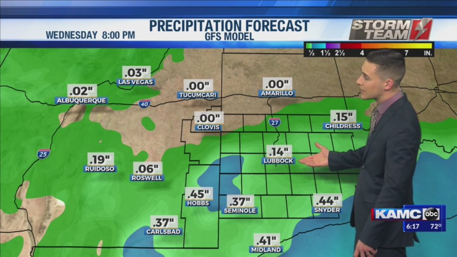
Super Tuesday will be a little wet across the South Plains. The best chance for rain will remain to the south of US Highway 70. Up to 0.25″ can be expected across the region. Highs will be colder across the area, only topping out in the lower to middle 50s. Rain will come to an end during the evening hours, and overnight lows will drop into the lower 30s.
The remainder of next week looks nice across the region! High temperatures will warm into the upper 60s and lower 70s. More sunshine will return top the area, really making it feel like Spring! Overnight lows will remain close to average, bottoming out in the middle to lower 30s.
Next weekend looks relatively quiet across the region with highs in the 70s and lows in the 40s.
Have a spectacular Sunday!
-Jacob
Facebook: Meteorologist Jacob Riley
Twitter: @jrileywx